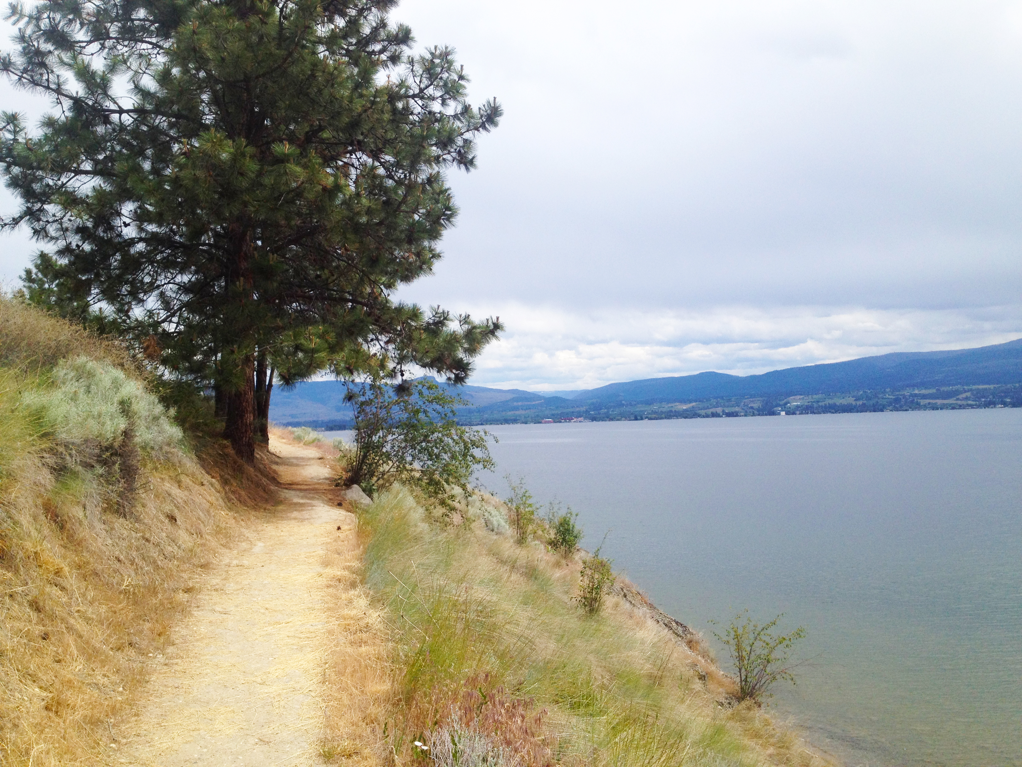
Kalamoir Park
Kalamoir Park offers hiking.
Don't leave without...
- Hiking
Overview
This looped trail offers continual panoramas reaching across the lake to Okanagan Mountain Park and the Lower Mission in Kelowna. Parts of the trail are narrow, so it's not ideal for strollers.
Quick Facts
- Type
- trail
- Coordinates
- 49.8498, -119.5437
What you can do here
- Hiking
Good to know
- Hike duration
- 60 - 90 minute round-trip
- Trail description
- Partially double-wide trail follows the lake before snaking briefly up through the alpine forest.
- Storm watching
- Phenomenal spot to storm watch on the beach under the trees.
- Spring flora
- Arrowleaf Balsamroot (a.k.a. Okanagan Sunflower) visible in spring.
Kalamoir Park (Difficulty: 3/10)
- Difficulty
- 3/10
Keep Exploring
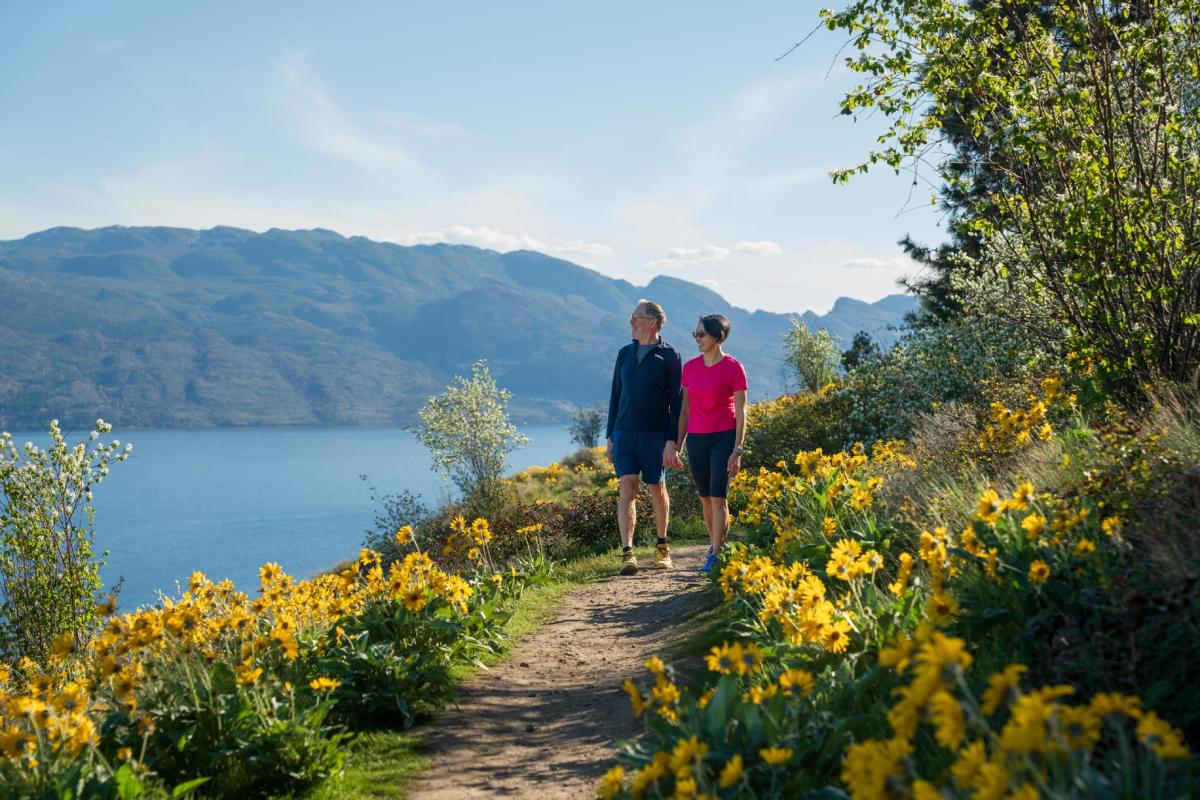
Kalamoir Regional Park
0 m away.
A park where you can spot wildflowers along the trails.
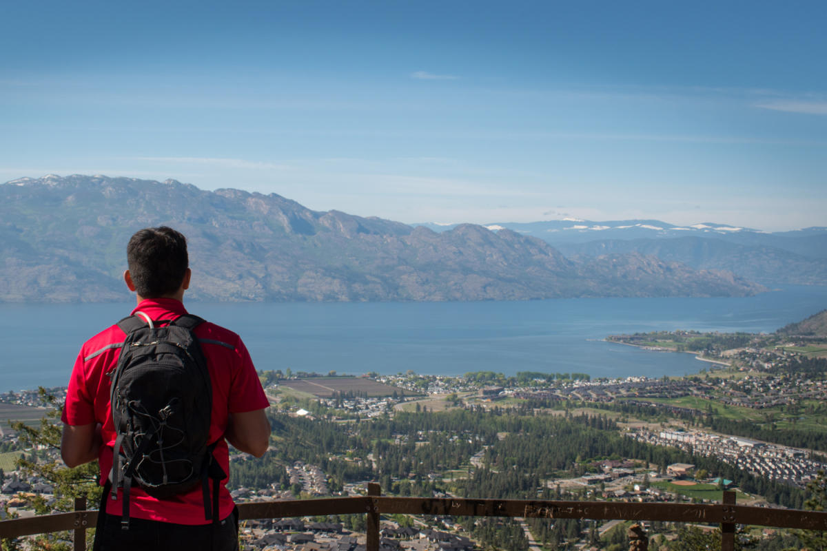
Mount Boucherie
2.2 km away.
A location perfect for sunrise hikes.

Royal LePage Place Arena
3.0 km away.
Royal LePage Place is West Kelowna's premier, 1,500-seat, multiuse facility accommodating…

Boyce-Gyro Beach Park
3.8 km away.
One of Kelowna's most popular beaches, located at the south end of Pandosy.
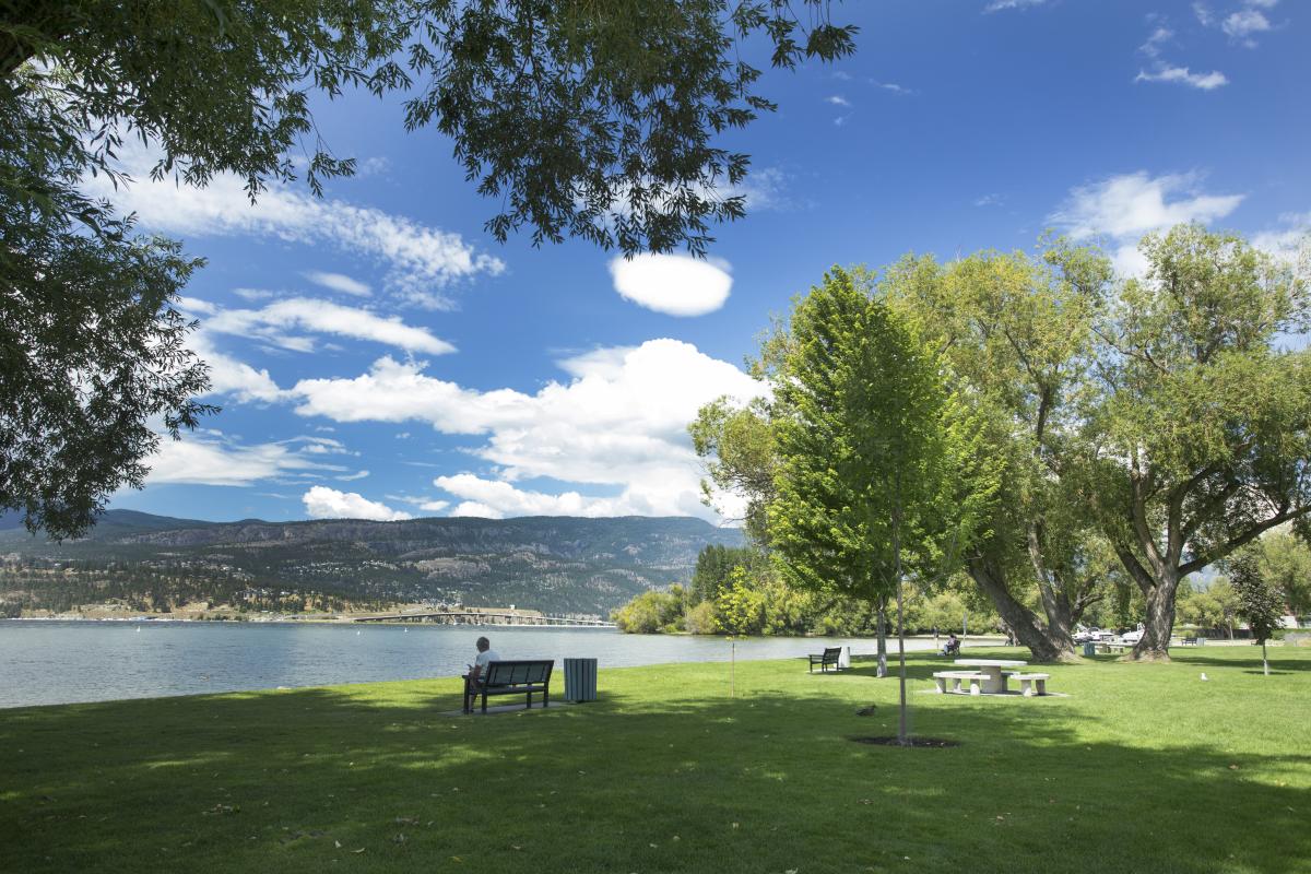
Kinsmen Park
4.0 km away.
A beach park with shady spots for breaks while enjoying water activities.
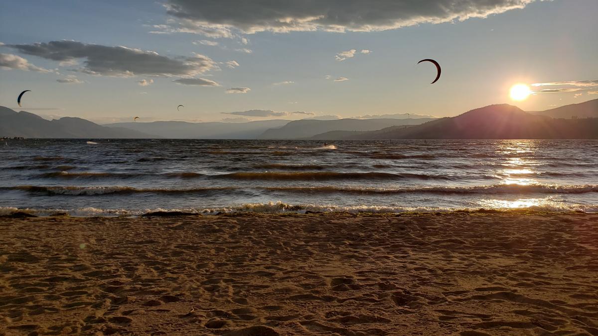
Rotary Beach Park
4.1 km away.
Rotary Beach Park is a great family-friendly destination in Kelowna. It features its own p…
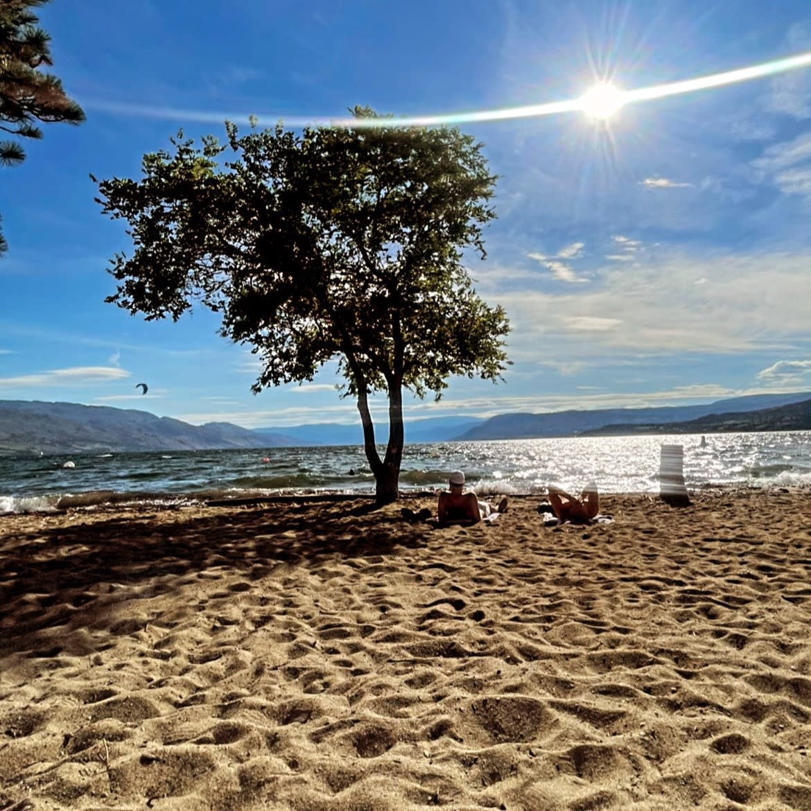
BlueBird Beach
4.1 km away.
A smaller beach along the shoreline of Okanagan Lake in Kelowna.
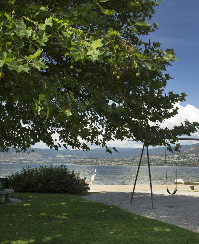
Sarsons Beach Park
4.2 km away.
A smaller beach park along the shoreline of Okanagan Lake in Kelowna.
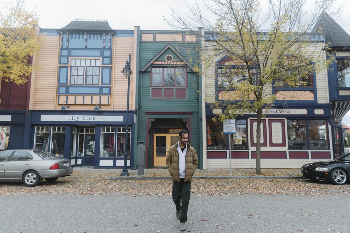
Pandosy Village
4.2 km away.
Pandosy Village is a center of activity for visual arts and culture, located in the southe…
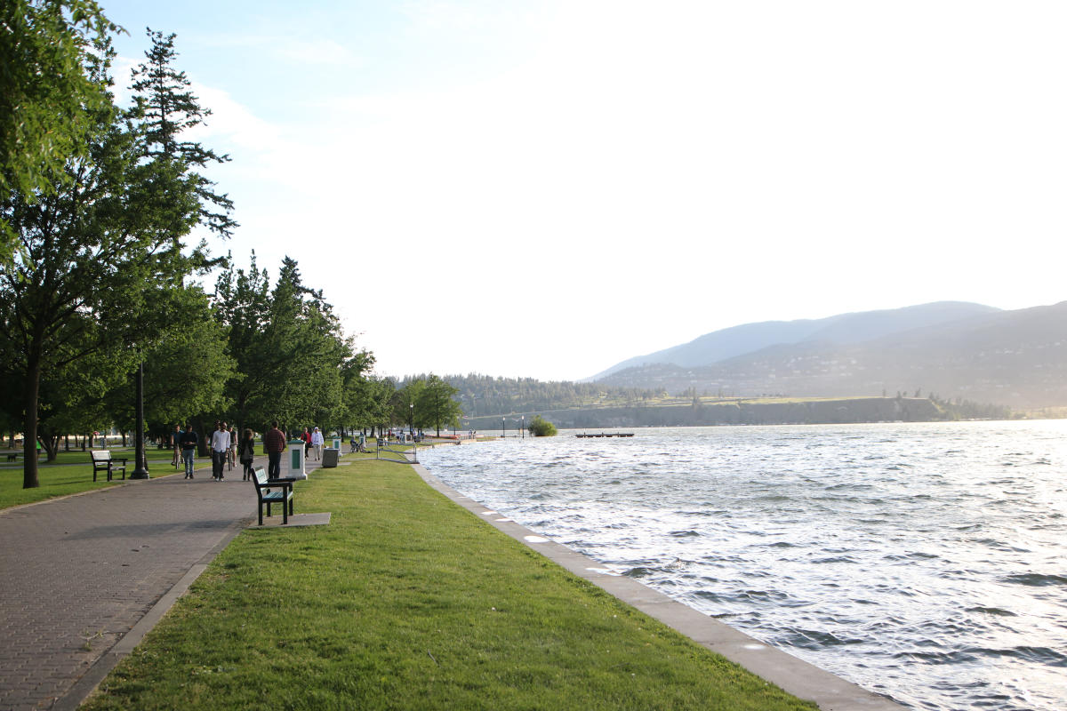
City Park
4.8 km away.
A park in downtown Kelowna home to a large waterpark and close to the lake.
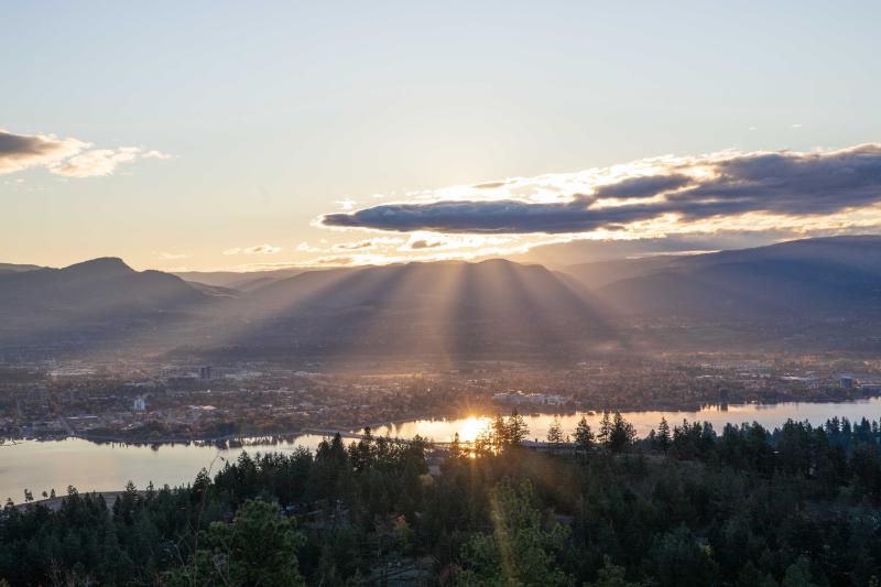
Rose Valley Regional Park
4.8 km away.
A park in West Kelowna featuring the City on the Edge of Forever lookout, accessible via a…
The Hatching Post
1.1 km away.
A location where the Oktoberfest celebration is held.